The main climatic zones of Australia
12 April, 2010
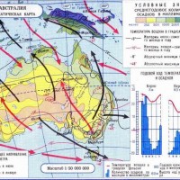
 Australia is in the subequatorial latitudes from the north to subtropical in the south and only the island of Tasmania lies almost entirely in the temperate zone. In accordance with the geographical location of one of the main factors, impact on the climate of the continent, is the high total solar radiation, reaching the north-west 140 k / cal per cm2 per year.
As compared with
freaks and South America, south of the equator over Australia stretched from west to east. With a weak dissection of the coastline is constantly high temperatures leads to the interior and gives the right to consider her the hottest part of the land of the Southern Hemisphere.
The climate is mostly continental mainland. Sea air, sometimes penetrate far into the depth of the north and south (which favors the absence of orographic barriers), warms up quickly and loses moisture. Australian Eastern Mountain detain moist winds from the Pacific Ocean, flowing from the western periphery of the South Pacific high, and is separated from the continental oceanic sector. The climate in the narrow coastal sectors affects the warm East Australian for.
Darling also limits the ridge to the south-west of the narrow oceanic sector Mediterranean climate. Coastal strip in front of him a few cool slightly pronounced cold of Western Australia over. The coast north of Darling Range is affected by winds, flowing from the eastern periphery of the South Indian high, and summer monsoon. Last winter, along with cyclones bring with them a small amount of precipitation, therefore, on the western edge of the desert of Australia replaced semideserts.
From December to February, the mainland strongly heated, especially its northern and north-western parts of; this is the hot season. In the north western plateau and almost the entire northern half of the Central Valley average temperatures above 30 ° C. In the far south is the isotherm of 20 ° C. Due to the strong heating of the land above it is set low atmospheric pressure, the Australian minimum. Area of high pressure over the Indian and Pacific oceans in this time of year are shifted to the south and connecting, seize southern edge of the continent. In the northwest, the inner area of low pressure is delayed humid equatorial air, releasing rainfall only on the coast.
Peninsulas Arnhem Land and York falls more 1000 mm of precipitation per year. In the interior of these rains, although the summer and cause maximum precipitation north of the line of the North-West Cape town Sydney, but generally not effective 19-20 ° south st. w. rainfall is less than 300 mm, and dominated by semi-desert and desert.
From the south, in an area of low pressure drag on the southeast and south winds. But they come from higher latitudes (from the high-pressure) and sediments provide. In summer, in South Australia is very dry: in Perth (in southwest) of 850 mm of annual rainfall in summer accounts for only 32 mm, t. E. about 4% of the total. Passing over the hot land, winds from the ocean warms up quickly, in the southern deserts of the Western Plateau and South Central Valley weather is hot (average temperature of the hottest month in Coolgardie 25,3 ° C).
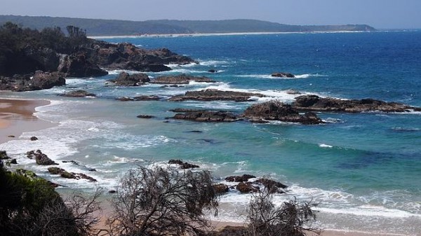
The coastal strip somewhat cooler: Perth average temperature of the hottest month 23,3 ° C. Winds from the Pacific Ocean (bearing North 19 ° S. ш. equatorial air, south tropical, but he and drugoyvlazhny and warm), encountering mountain barrier, produce abundant orographic rain. In Mackay, of 1910 mm of annual precipitation falls in February for December 820 мм (43%), in Sydney from 1230 mm of annual 250 мм (20%). The weather is hot and humid in the average summer temperature is 22 ° C in Sydney, Brisbane 25 ° C, at 28 ° C McCullagh. In the cool season, the (June-August) Mainland noticeably cooled. On the northern coast of the monthly mean temperature is reduced by 5-6 ° C; the rest of the continent at 10-12 ° C. Isotherm of 15 ° C passes this season just north of the southern tropic, and 10 ° C isotherm for Bass Strait, separates Tasmania from Australia. Over the mainland set up a high pressure Australian north coast is under the influence of hot, dry south-easterly winds the northern periphery of the Australian high and almost gets rainfall. No rain also in the interior of the continent. Along the southern coast of Tasmania, and in this season dominated by westerly flow of sea air temperate. In the band of the polar front, formed between the temperate and tropical air, comes unstable weather with cyclonic rains, so south of 32 ° Abdomen. observed winter maximum precipitation. In Perth for June-August falls 470 мм (55%) Precipitation of 850 mm per annum. exception is the south-eastern edge of the continent, the winter on the eastern periphery of the Australian maximum blow relatively cold southwest winds. In this regard, even in Sydney in winter precipitation is somewhat less, than summer. From 32 ° S. ш. to the south along the eastern coast of the Tropic of southern winds blow, and north of the Tropic of south-eastern.mmw
They lower the temperature in Brisbane to 14 ° C and Mackay 16 ° C and bring relatively little moisture: Mackay in June and August only falls 130 mm of rainfall. Depending on the annual variation of moisture, thermal characteristics and distribution of the pressure systems and air masses in Australia are the following climatic zones and areas:Time subequatorial climate of Northern Australia (to 20 ° S. ш) with consistently high and straight in the year temperatures (about 25 ° C) alternating wet and dry winter and summer seasons; tropical belt (Equatorial) Climate (between 20 ° and 30 ° S. ш. ) with two areas. w
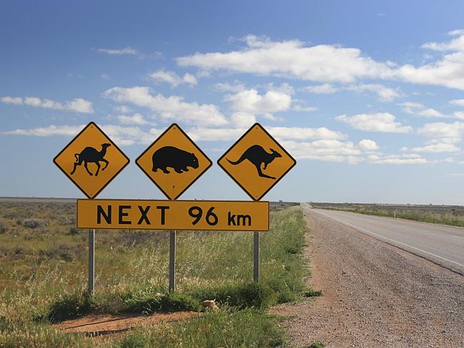
The first area of the continental desert and semi-desert climate extends from the East Australian Mountains to the Indian Ocean; The second area of sea trade wind climate occupies a narrow strip of the Pacific coast and is characterized by hot and very humid in summer and warm and less humid subtropical climate embraces the southern part of the northern coast of Australia and Tasmania. This zone is also highlighted several areas: to the south-west characteristic Mediterranean type climate with hot and dry summers and cool, wet winters; to the southeast subtropical monsoon climate, with summer maximum precipitation; between them is an area of the continental sub-tropical climate with a winter maximum precipitation and occasional summer convective rain.
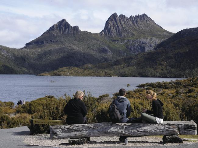
In a special subdomain should provide Australian Alps mountain climate with most fully developed high-altitude zone; temperate zone includes only Tasmania, which is characterized by a strong oceanic influence, high rainfall, brought by the prevailing westerly winds in the year, and moderate temperatures.
This is also interesting:


